Future Radar + Current Radar + Future Max Wind Gusts From Our Experimental Live Stream
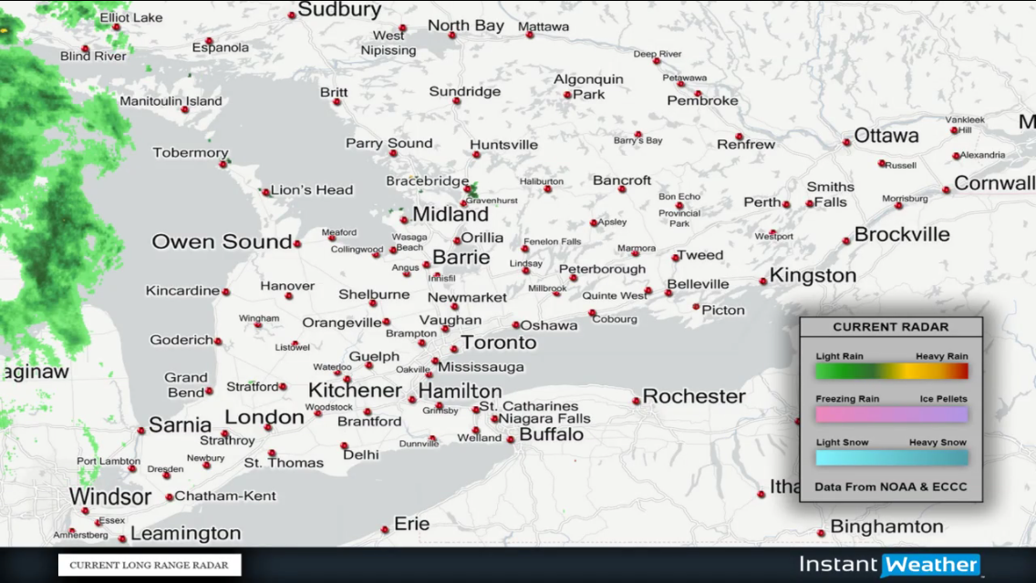
InstantWeatherBelow is the current long range radar in our region:
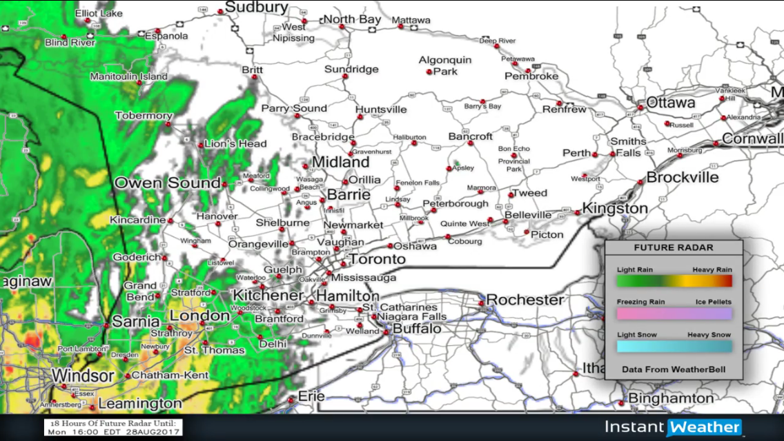
Additionally, we've included simulated future radar over a period of 18 hours:
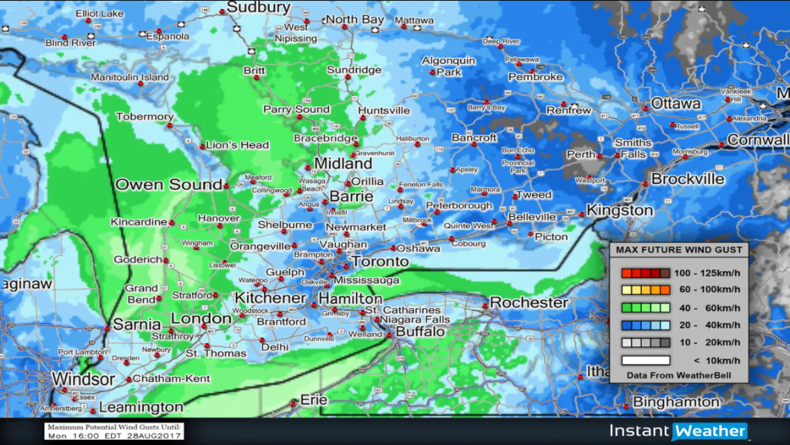
And below is simulated future maximum wind gusts over a period of 18 hours:
Click below to view an experimental live stream loop with the latest radar and model data:
(If stream is fuzzy after a few seconds, please reload it)
More details ASAP!
- OTW (Adam S.)
P.S. The live stream is still experimental and may experience down time, adjustments, improvements, etc.
P.P.S. Radar data is from NOAA & ECCC and future model data is from WeatherBell.com