Special Weather Statement Issued
the N.W.S.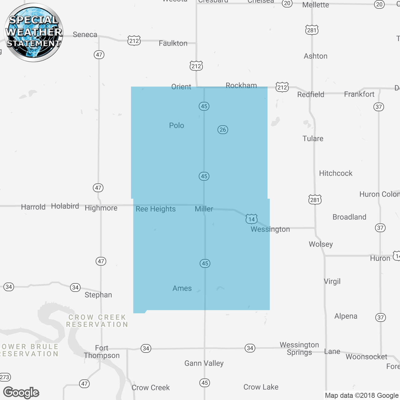
(Locations listed below description)
...SIGNIFICANT WEATHER ADVISORY FOR NORTHERN HAND COUNTY UNTIL 530 PM CDT... At 440 PM CDT, Doppler radar was tracking strong thunderstorms along a line extending from near Polo to near Burdette. Movement was northeast at 15 mph. Dime size hail and winds in excess of 30 mph will be possible with these storms. Locations impacted include... Burdette and Polo. A Tornado Watch remains in effect until 1100 PM CDT for central South Dakota.
ISSUED:
- Hand County