Special Weather Statement Issued
Environment Canada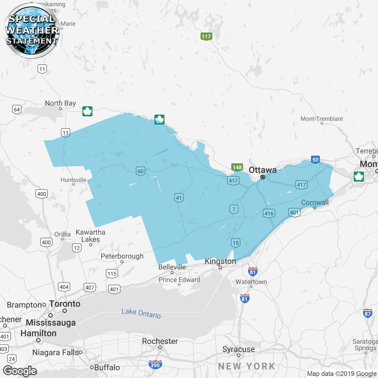
(Locations listed below description)
Potential for freezing rain saturday night into sunday morning and snow and blowing snow sunday evening.
Precipitation associated with a strong low pressure system may begin as snow overnight saturday night or early sunday morning but is expected to quickly transition to freezing rain or ice pellets and then to rain by sunday afternoon.
Surfaces such as highways, roads, walkways and parking lots may become icy and slippery.
The precipitation is then expected to change back to snow late sunday afternoon or sunday evening. The latest analysis suggests total snow and ice pellet accumulations in the 5 to 10 cm range by monday morning.
In addition, strong winds will develop sunday evening with gusts to 70 km/h possible sunday night into monday afternoon resulting in poor visibility in blowing snow.
Visibility may be significantly and suddenly reduced to near zero making travel hazardous.
There is still some uncertainty regarding the track of this low pressure system originating in texas. Environment canada meteorologists will continue to monitor this developing situation closely.
Please continue to monitor alerts and forecasts issued by environment canada. To report severe weather, send an email to onstorm@canada.ca or tweet reports using #onstorm.
ISSUED:
- Alexandria
- Algonquin
- Arnprior
- Bancroft
- Bannockburn
- Barry's Bay
- Bon Echo Park
- Brockville
- Burk's Falls
- Calabogie
- Charleston Lake
- City of Ottawa
- Cobden
- Cornwall
- Deep River
- Denbigh
- Eastern Algonquin Park
- Eastern Lanark County
- Fort Irwin
- Gananoque
- Haliburton
- Hastings Highlands
- Kaladar
- Kanata
- Kemptville
- Killaloe
- Lake of Two Rivers
- Lanark
- Lancaster
- Leeds and Grenville
- Long Sault
- Madoc
- Mallorytown
- Maxville
- Merrickville-Wolford
- Metcalfe
- Minden
- Morrisburg
- Newington
- Northern Haliburton County
- Orléans
- Ottawa North
- Ottawa South
- Oxtongue Lake
- Pembroke
- Perth
- Petawawa
- Plevna
- Prescott
- Prescott and Russell
- Renfrew
- Richmond
- Sharbot Lake
- Smiths Falls
- South Frontenac
- South River
- Southern Haliburton County
- Stirling
- Sydenham
- Tamworth
- Tweed
- Western Algonquin Park
- Western Lanark County
- Westport
- Whitney
- Winchester