Special Weather Statement Issued
Environment Canada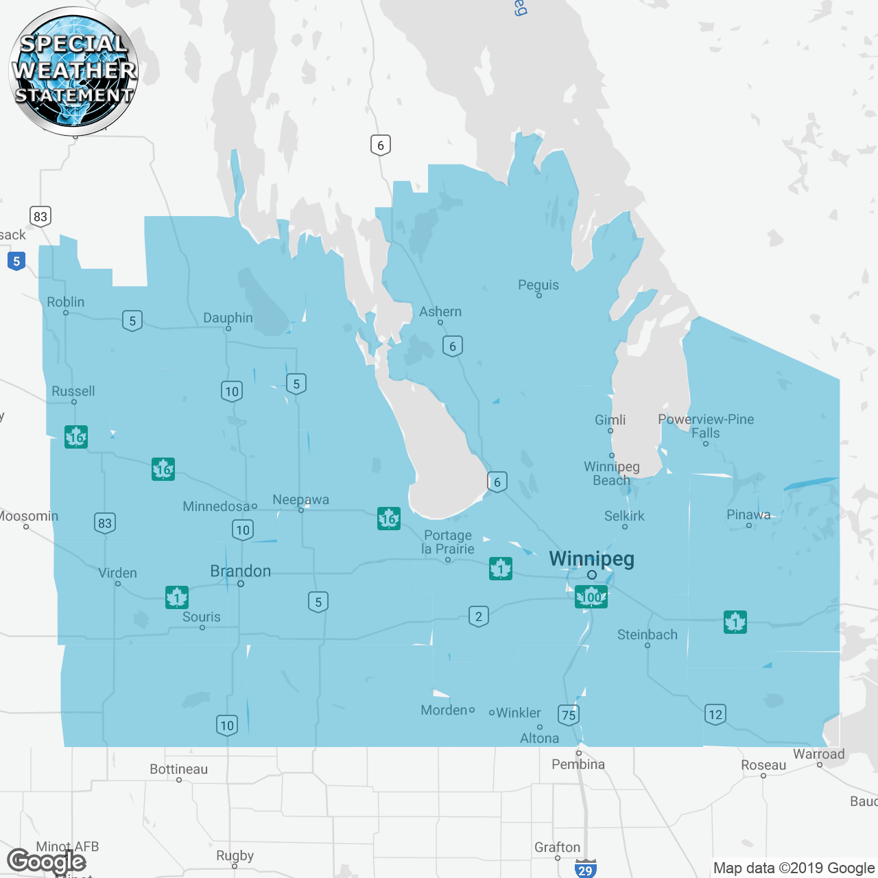
(Locations listed below description)
A wintery mix of precipitation is expected for southern manitoba beginning friday and lasting into sunday.
Another colorado low will cross the northern plains starting early friday bringing periods of snow and freezing drizzle to southern manitoba. The mix of precipitation will begin in the southwest spreading eastward throughout the morning. There will be the potential for prolonged periods of freezing drizzle leading to icy conditions on sidewalks and roadways, though exact timing and duration remain uncertain at this time. This mix of precipitation will continue through late saturday in most areas.
Precipitation will then shift over to mainly snow by late saturday as the system tracks across the dakotas. Current indications have the heaviest snow and strongest winds in the united states. However, areas along the international border and escarpment may see snowfall totals by sunday morning exceed 10 cm along with reduced visibilities in blowing snow. The system will depart the area entirely by midday sunday.
Please continue to monitor alerts and forecasts issued by environment canada. To report severe weather, send an email to mbstorm@canada.ca or tweet reports using #mbstorm.
end/paspc
ISSUED:
- Alonsa
- Altona
- Arborg
- Ashern
- Beausejour
- Bissett
- Boissevain
- Brandon
- Brunkild
- Buffalo Point Res. and Northwest Angle Prov. Forest
- Carberry
- Carman
- Cartwright-Roblin Mun. incl. Mather
- City of Winnipeg
- Dauphin
- Dugald
- Emerson
- Falcon Lake and West Hawk Lake
- Fisher River
- Gimli
- Gladstone
- Grand Beach
- Gypsumville
- Headingley
- Hecla
- Jackhead Res.
- Killarney
- L.G. of Pinawa incl. Seven Sisters Falls
- Lac du Bonnet
- Manitou
- McCreary
- Melita
- Minnedosa
- Moose Creek Prov. Forest Pine Dock and Matheson Island
- Morden
- Morris
- Mun. of Bifrost-Riverton incl. Arborg Hnausa and Hecla
- Mun. of Boissevain-Morton incl. Turtle Mtn Prov. Park
- Mun. of Brenda-Waskada incl. Medora and Goodlands
- Mun. of Deloraine-Winchester
- Mun. of Glenella-Lansdowne incl. Arden and Tenby
- Mun. of Grassland incl. Hartney and Minto
- Mun. of Killarney-Turtle Mountain
- Mun. of Lorne incl. Notre Dame and Swan Lake
- Mun. of Louise incl. Pilot Mound and Crystal City
- Mun. of McCreary incl. Norgate
- Mun. of Pembina incl. Manitou La Rivière and Snowflake
- Mun. of Souris-Glenwood
- Mun. of Ste. Rose incl. Laurier
- Mun. of Two Borders incl. Melita Coulter and Tilston
- Mun. of WestLake-Gladstone incl. Plumas and Langruth
- Neepawa
- Nopiming Prov. Park
- Northwest Angle Provincial Forest
- Peguis Res. and Fisher River Res.
- Pilot Mound
- Pinawa
- Pine Falls
- Pointe du Bois
- Portage la Prairie
- R.M. of Alonsa incl. Ebb and Flow Res. and Sandy Bay Res.
- R.M. of Argyle incl. Baldur Glenora and Greenway
- R.M. of Brokenhead incl. Beausejour and Garson
- R.M. of Cartier incl. Elie St. Eustache and Springstein
- R.M. of Dufferin incl. Carman Roseisle and Homewood
- R.M. of East St. Paul incl. Birds Hill
- R.M. of Fisher incl. Poplarfield
- R.M. of Grahamdale incl. Gypsumville Moosehorn and Camper
- R.M. of Grey incl. St. Claude Elm Creek and Fannystelle
- R.M. of Headingley
- R.M. of Lac Du Bonnet
- R.M. of Macdonald incl. Brunkild Starbuck and La Salle
- R.M. of Piney incl. Sandilands and Sprague
- R.M. of Pipestone incl. Oak Lake Res.
- R.M. of Portage la Prairie incl. St. Ambroise
- R.M. of Prairie Lakes incl. Margaret Ninette and Belmont
- R.M. of Reynolds incl. Ste. Rita Hadashville and Rennie
- R.M. of Sifton incl. Oak Lake and Deleau
- R.M. of Springfield incl. Anola and Birds Hill Prov. Park
- R.M. of St. Clements incl. Grand Beach Brokenhead and Libau
- R.M. of St. François Xavier
- R.M. of Wallace-Woodworth incl. Virden Elkhorn and Kenton
- R.M. of West Interlake incl. Eriksdale and Ashern
- R.M. of Whitehead incl. Alexander and Beresford
- R.M. of Whitemouth incl. Elma
- Richer
- Riding Mountain National Park
- Riverdale Mun. incl. Rivers and Wheatland
- Roblin
- Russell
- Selkirk
- Shoal Lake Reserves
- Souris
- Sprague
- St. Adolphe
- Ste. Rose
- Steinbach
- Stonewall
- Treherne
- Turtle Mountain Provincial Park
- Victoria Beach
- Virden
- Vita
- Whiteshell
- Winkler
- Winnipegosis
- Woodlands