Severe Thunderstorm Warning Issued
Environment Canada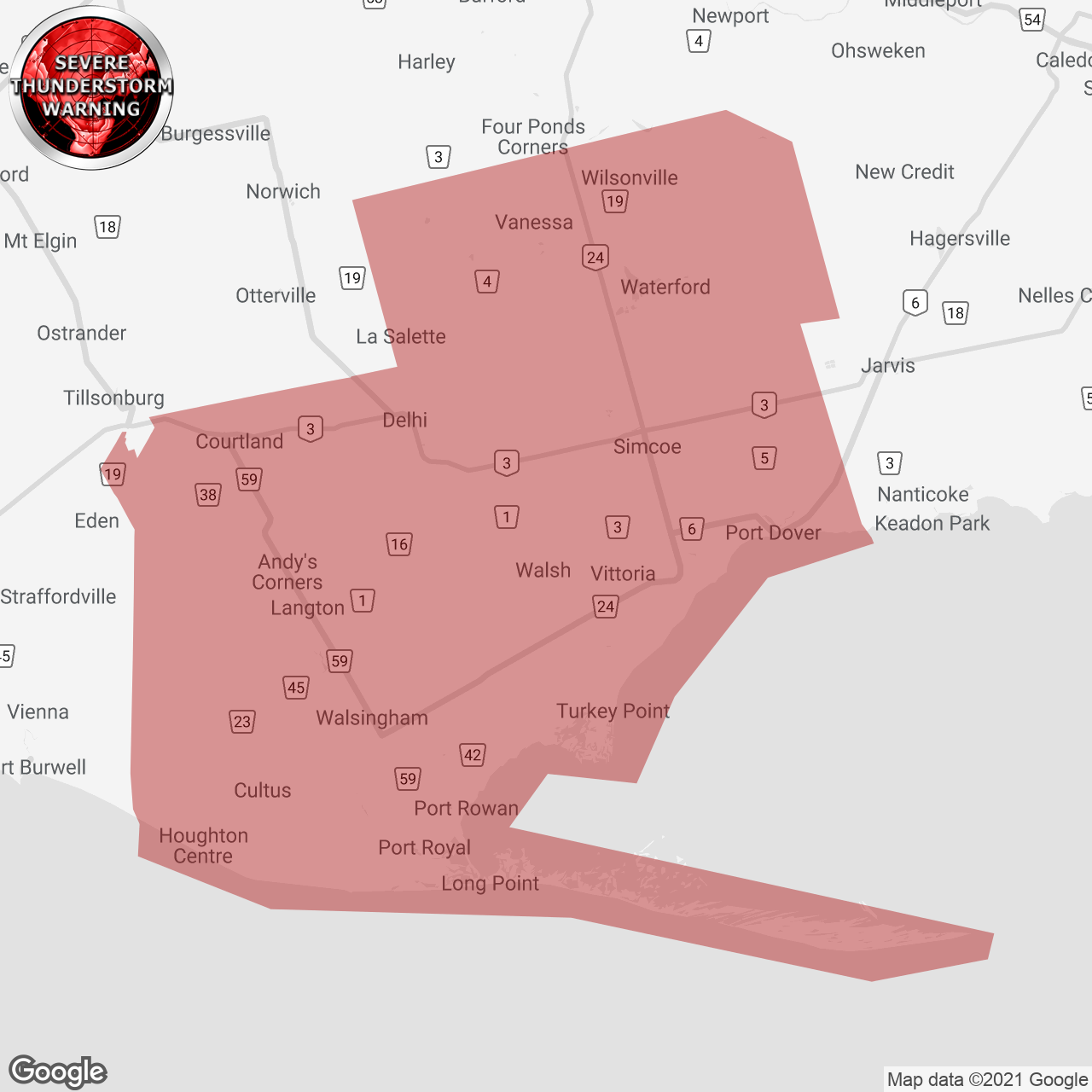
(Locations listed below description)
Updated or ended by 5:56 P.M. Edt.
At 5:09 P.M. Edt, Environment Canada meteorologists are tracking a line of severe thunderstorms capable of producing very strong wind gusts and pea to dime size hail.
This line of severe thunderstorms is located from Springfield to Port Bruce, moving East at 40 km/h.
Hazard: 90 km/h wind gusts, pea to dime size hail.
Locations impacted include: Port burwell Provincial Park, Mount salem, malahide, Port burwell, vienna, straffordville, hemlock and Glen meyer.
Strong wind gusts can toss loose objects, damage weak buildings, break branches off trees and overturn large vehicles. Lightning kills and injures canadians every year. Remember, when thunder roars, go indoors!
The office of the fire marshal and emergency management recommends that you take cover immediately if threatening weather Approaches.
Please continue to monitor alerts and forecasts issued by Environment Canada. To report severe weather, send an email to onstorm@Canada.ca or tweet reports using #ONStorm.
For more information: Http://www.emergencymanagementontario.ca/English/beprepared/beprepared.html.
ISSUED:
- Delhi
- Norfolk
- Simcoe