Freezing Rain Warning Issued
Environment Canada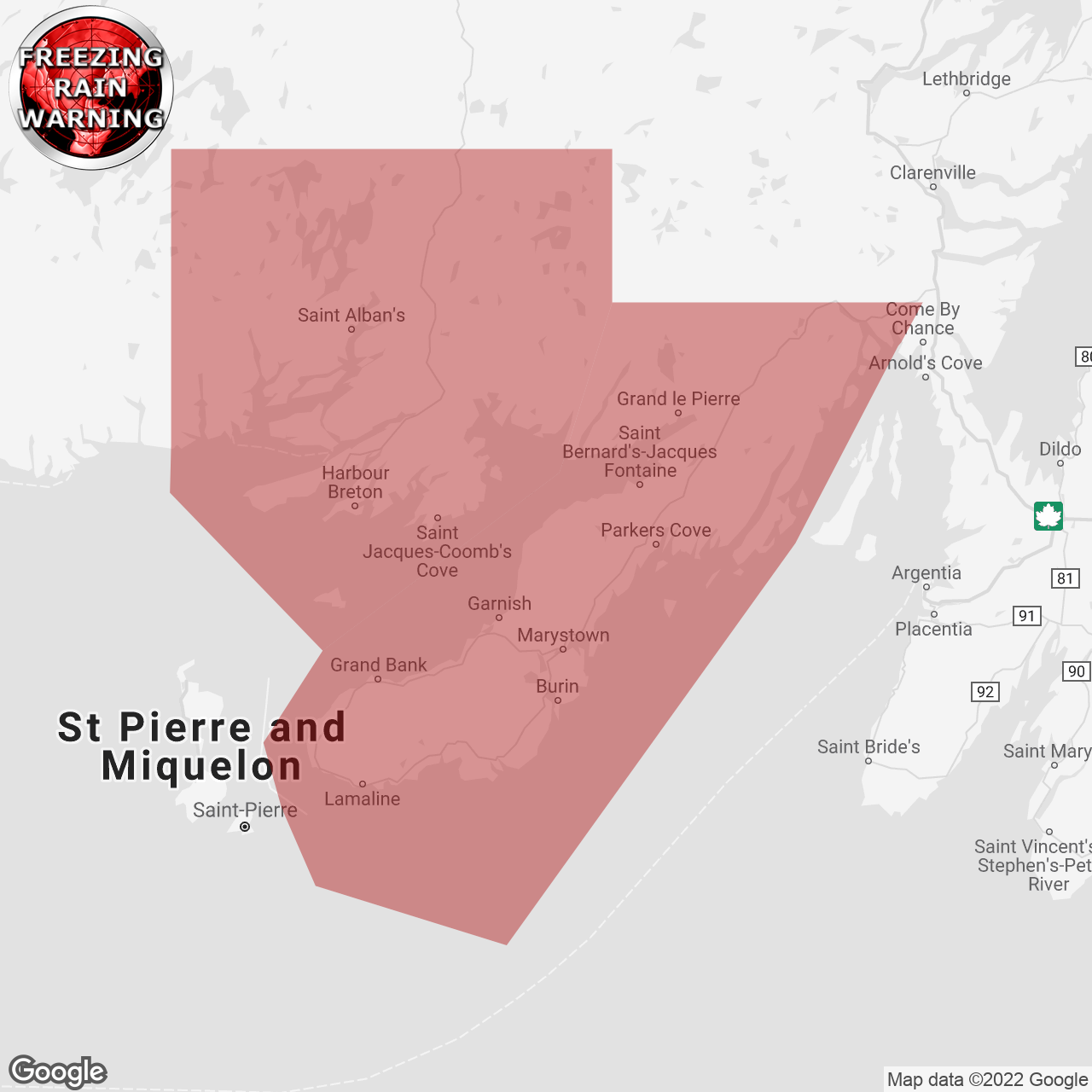
(Locations listed below description)
Significant ice build-up due to a Long-lasting period of freezing rain is expected or occurring.
Total freezing rain amounts: 20 to 30 mm inland and over higher terrain (lesser amounts near the Coast).
Locations: Burin and Connaigre peninsulas.
Time span: Friday afternoon until overnight Friday night.
Remarks: Precipitation will transition to freezing rain during the day on Friday, and then back to rain Friday night. The freezing rain will be heaviest and most prolonged inland and over higher terrain, potentially resulting in large amounts of ice build-up.
Power outages may occur.
Surfaces such as highways, roads, walkways and parking lots will become icy, slippery and extremely hazardous. Beware of branches or electrical wires that could break under the weight of ice.
Freezing rain warnings are issued when rain falling in sub-zero temperatures creates ice build-up and icy surfaces.
Please continue to monitor alerts and forecasts issued by Environment Canada. To report severe weather, send an email to nlstorm@ec.gc.ca or tweet reports using #nlwx.
end/nlwo
ISSUED:
- Burin Peninsula
- Connaigre