Special Weather Statement Issued
Environment Canada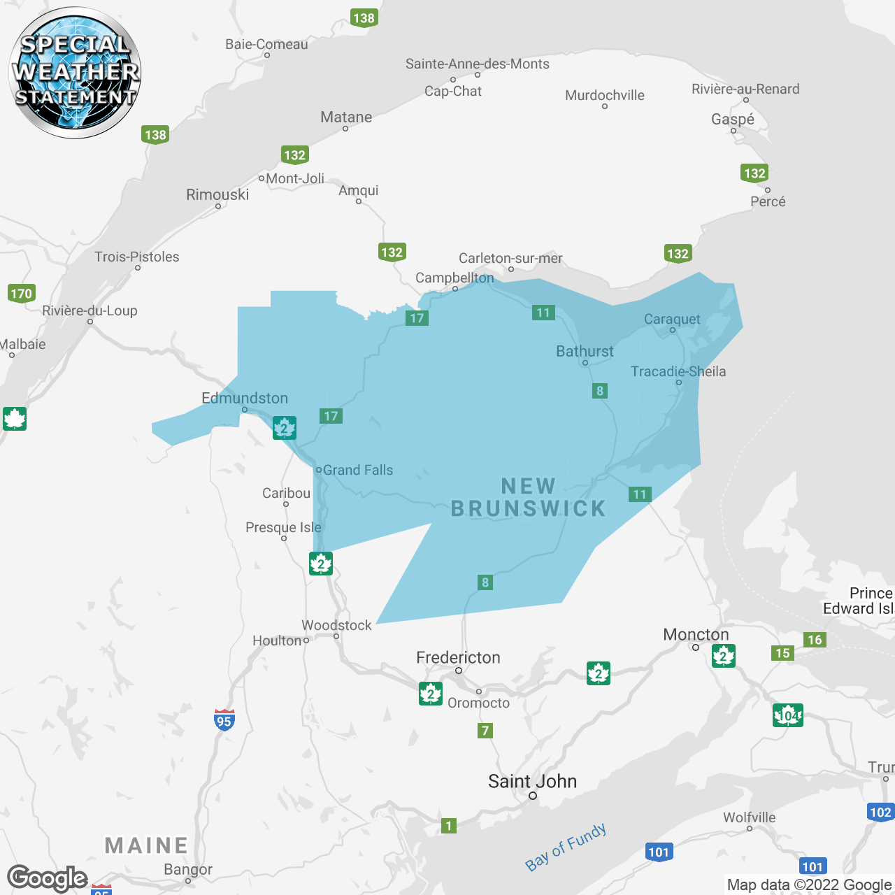
(Locations listed below description)
Significant snowfall, freezing rain and a flash freeze starting Thursday evening.
Total snowfall: 15 cm or more.
Total rainfall: 10 to 20 mm.
Duration of freezing rain: Possibly 4 hours or more.
Locations: Northern New Brunswick.
Time span: Thursday evening ending Friday afternoon.
Remarks: Periods of snow will transition to rain during the day on Thursday in mild southwesterly winds ahead of an approaching cold front. Cold air is then expected to rapidly pour into northern New Brunswick later Thursday evening as the front descends southward from Quebec. Rain will quickly to turn to heavy snow or freezing with the passage of the front and will last into Friday. Significant ice build up is possible in some areas, and may lead to localized power outages.
The rapidly falling temperatures Thursday evening will quickly freeze any standing water on roads or walkways, leading to hazardous travel conditions.
Please continue to monitor alerts and forecasts issued by Environment Canada. To report severe weather, send an email to nbstorm@ec.gc.ca or tweet reports using #NBStorm.
end/aspc
ISSUED:
- Acadian Peninsula
- Bathurst And Chaleur Region
- Blackville Area
- Campbellton and eastern half of Restigouche County
- Doaktown
- Edmundston And Madawaska County
- Grand Falls And Victoria County
- Miramichi And Area
- Mount Carleton
- Renous Highway
- Stanley
- western half of Restigouche County