Severe Thunderstorm Watch Issued
Environment Canada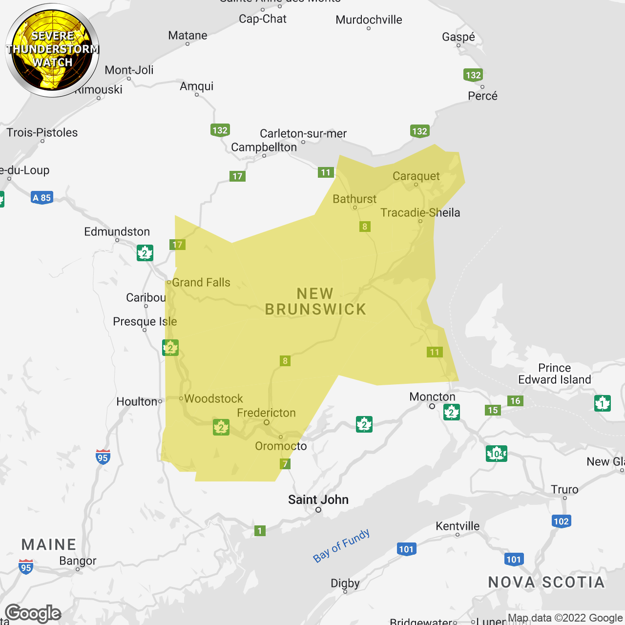
(Locations listed below description)
Conditions are favourable for the development of severe thunderstorms that may be capable of producing strong wind gusts and heavy rain.
Potential rainfall rates: 25 mm per hour or higher in thunderstorms.
Potential wind gusts: Locally 90 km/h in thunderstorms.
Locations: Northeastern and Central New Brunswick.
Time span: This afternoon until this evening.
Remarks: A line of thunderstorms is expected to develop later this afternoon and move eastward. The primary hazard with these storms will be high rainfall rates.
Heavy downpours can cause flash floods and water pooling on roads. Lightning kills and injures canadians every year. Remember, when thunder roars, go indoors!
Severe thunderstorm watches are issued when atmospheric conditions are favourable for the development of thunderstorms that could produce one or more of the following: Large hail, damaging winds, torrential rainfall.
Please continue to monitor alerts and forecasts issued by Environment Canada. To report severe weather, send an email to nbstorm@ec.gc.ca or tweet reports using #NBStorm.
end/aspc
ISSUED:
- Acadian Peninsula
- Bathurst And Chaleur Region
- Blackville Area
- Doaktown
- Fredericton And Southern York County
- Grand Falls And Victoria County
- Kent County
- Kouchibouguac National Park
- Miramichi And Area
- Mount Carleton
- Oromocto And Sunbury County
- Renous Highway
- Stanley
- Woodstock And Carleton County