Weather Advisory Issued
Environment Canada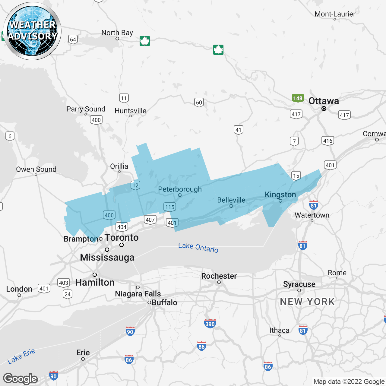
(Locations listed below description)
Winter weather travel advisory in effect for tonight and Sunday.
Hazards: Snowfall accumulations of 5 to 10 cm. Reduced visibility in heavy snow. Risk of freezing drizzle.
Timing: Risk of freezing drizzle overnight and early Sunday morning. Snow at times heavy beginning Sunday morning and ending early Sunday evening.
Discussion: A low pressure system will move through the area tonight and Sunday. Light flurries possibly mixed with freezing drizzle will begin overnight then transition into snow at times heavy Sunday morning. Snow will ease late Sunday afternoon or early Sunday evening. If freezing drizzle does occur, a thin layer of ice may be present underneath a layer of snow.
Take extra care when walking or driving in affected areas. Slow down driving in slippery conditions. Watch for taillights ahead and maintain a safe following distance. Visibility may be suddenly reduced at times in heavy snow. Surfaces such as highways, roads, walkways and parking lots may become icy and slippery.
For road conditions and other traveller information from the ministry of transportation, visit https://www.Ontario.ca/511,
, or call 5-1-1.
Please continue to monitor alerts and forecasts issued by Environment Canada.
To report severe weather in Ontario, send an email to onstorm@ec.gc.ca or tweet reports using #ONStorm.
ISSUED:
- Angus
- Apsley
- Balsam Lake Park
- Beaverton
- Belleville
- Caledon
- Cobourg
- Colborne
- Consecon
- Eastern Northumberland County
- Fenelon Falls
- Frontenac Islands
- Gananoque
- Georgina
- Grand Valley
- Innisfil
- Kingston
- Lakefield
- Lindsay
- Madoc
- Mallorytown
- Mansfield
- Napanee
- New Tecumseth
- Newmarket
- Northern Dufferin County
- Northern Durham Region
- Northern Kawartha Lakes
- Northern Peterborough County
- Northern York Region
- Odessa
- Orangeville
- Peterborough City
- Quinte West
- Shelburne
- South Frontenac
- Southern Dufferin County
- Southern Kawartha Lakes
- Southern Peterborough County
- Stirling
- Sydenham
- Tamworth
- Tweed
- Uxbridge
- Western Northumberland County
- Woodview