Winter Storm Warning Replaces Winter Storm Watch
Environment Canada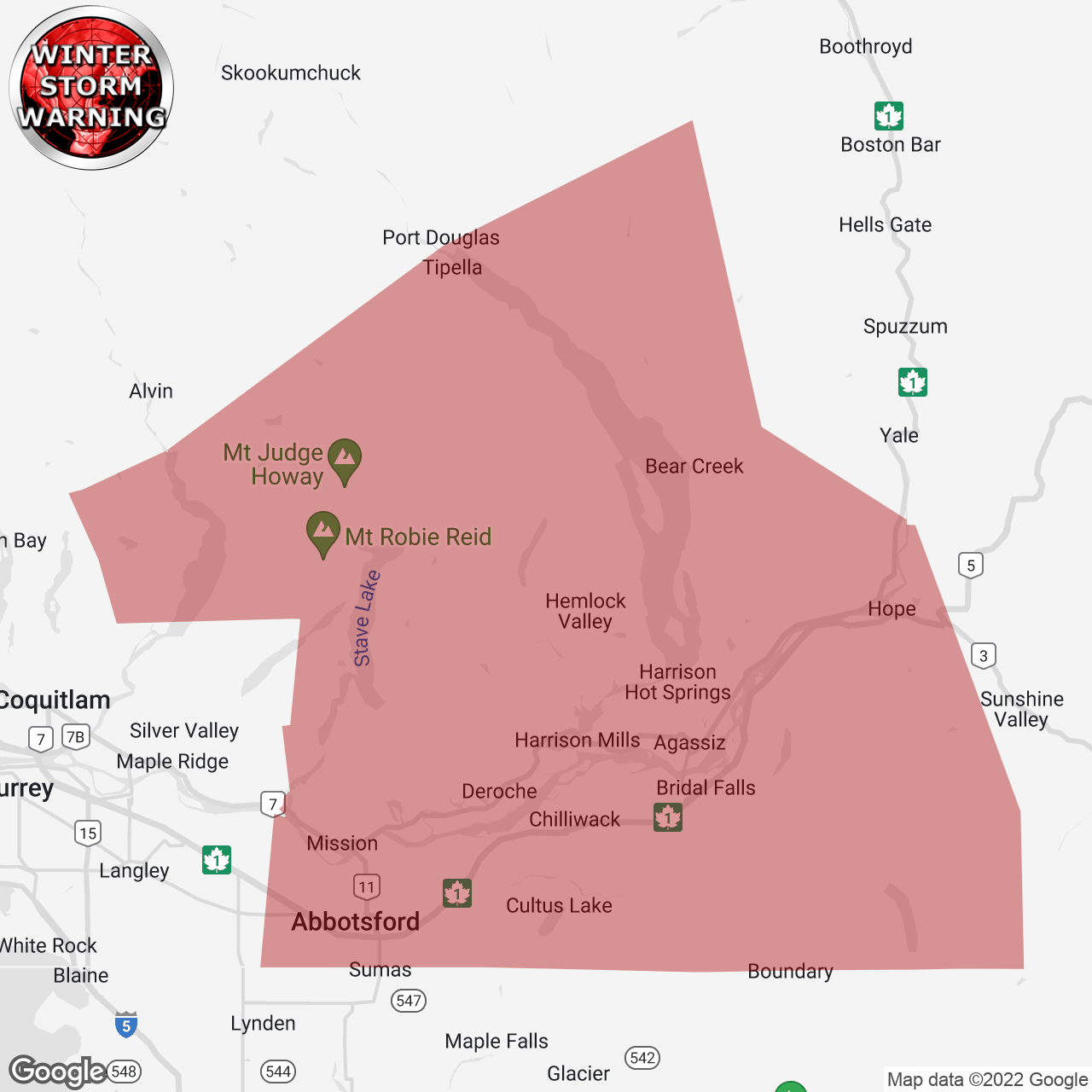
(Locations listed below description)
Hazardous winter conditions are expected.
Travel conditions will be challenging due to heavy snow, ice pellets, freezing rain, and rain on snow or ice, followed by heavy rain.
Locations: Fraser Valley.
Time span: Thursday evening to Saturday night (Christmas eve).
Hazards: Heavy snow followed by freezing rain and heavy rain, high winds and reduced visibility in blowing snow, Arctic outflow and windchill near minus 25, freezing rain with ice build-up and slippery surfaces.
Remarks: A Pacific frontal system combined with the cold Arctic airmass over b.c. Will bring another Round of snow and wind to the Fraser Valley starting this evening.
As freezing levels rise, heavy snow will become mixed with ice pellets and then change to rain to Friday night to Saturday over the mainland. Total snowfall accumulations ranging from 15 to 25 cm are expected. Local blowing snow is possible in strong easterly winds resulting in near zero visibilities.
Furthermore, freezing rain is expected during the transition from snow to rain, which could cause significant impact on road and sidewalk conditions, as well as ice build up on trees leading to branches breaking. Periods of freezing rain could continue into Saturday afternoon.
Consider postponing non-essential travel until conditions improve. Visibility will be suddenly reduced to near zero at times in heavy snow and blowing snow. Surfaces such as highways, roads, walkways and parking lots may become icy and slippery. Localized flooding in low-lying areas is possible. Ice build-up may cause tree branches to break.
Please continue to monitor alerts and forecasts issued by Environment Canada. To report severe weather, send an email to bcstorm@ec.gc.ca or tweet reports using #BCStorm.
end/pspc
ISSUED:
- Fraser Valley