Special Weather Statement Issued
Environment Canada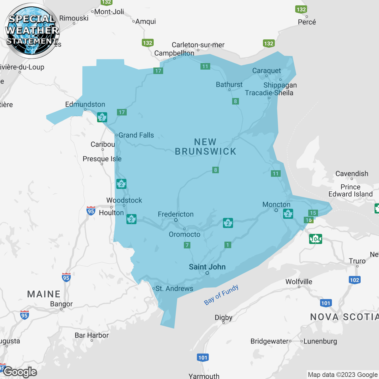
(Locations listed below description)
Snow in the North and mixed precipitation in the South are expected Friday.
Locations: New Brunswick.
Total snowfall accumulations: Likely 10 to 20 cm for the North. Total snowfall and ice pellet amounts: Likely 5 to 10 cm over Central and southern regions. Total rainfall and freezing rain amounts: 2 to 5 mm over Central and southern regions.
Time span: Thursday night through most of Friday.
Similar storms in the past have caused traffic delays and hazardous driving conditions.
Remarks: Precipitation will begin as snow before transitioning through ice pellets and freezing rain to rain.
Travel could become difficult. If you must travel, be prepared for delays and allow extra time to reach your destination.
Please continue to monitor alerts and forecasts issued by Environment Canada. To report severe weather, send an email to nbstorm@ec.gc.ca or tweet reports using #NBStorm.
end/aspc
ISSUED:
- Acadian Peninsula
- Bathurst and Chaleur Region
- Blackville Area
- Campbellton and Restigouche County
- Campbellton and eastern half of Restigouche County
- Doaktown
- Edmundston and Madawaska County
- Fredericton and Southern York County
- Fundy National Park
- Grand Falls and Victoria County
- Grand Lake and Queens County
- Grand Manan and Coastal Charlotte County
- Kennebecasis Valley and Kings County
- Kent County
- Kouchibouguac National Park
- Miramichi and area
- Moncton and Southeast New Brunswick
- Mount Carleton
- Oromocto and Sunbury County
- Renous Highway
- Saint John and County
- St. Stephen and Northern Charlotte County
- Stanley
- Sussex
- Woodstock and Carleton County
- western half of Restigouche County