Special Weather Statement Issued
Environment Canada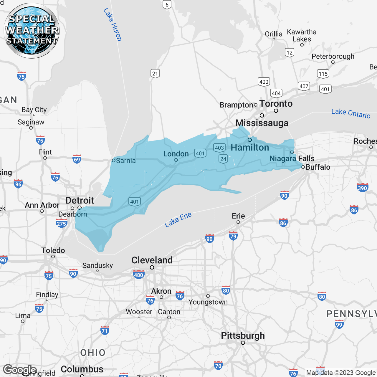
(Locations listed below description)
Accumulating snow expected Friday.
Hazards: Snow. Total accumulations of 10 to 15 cm possible. Visibility may be reduced at times in snow. Surfaces such as highways, roads, walkways and parking lots may become icy and slippery.
Timing: Snow will begin early Friday morning over extreme Southwestern Ontario and reach the Niagara Region Friday afternoon. Snow will end from West to East Friday night.
Discussion: Snow will Progress eastward Friday morning and will impact the morning commute over Southwestern Ontario. The snow should begin to taper over extreme Southwestern Ontario by early Friday evening, then end from West to East Friday night. The evening commute is also likely to be affected. Given some remaining uncertainty in the track of the system, some adjustments to forecast snow amounts may be required as the event draws nearer.
Please continue to monitor alerts and forecasts issued by Environment Canada.
To report severe weather in Ontario, send an email to onstorm@ec.gc.ca or tweet reports using #ONStorm.
ISSUED:
- Aylmer
- Brantford
- Caledonia
- Chatham-Kent
- City Of Hamilton
- County of Brant
- Delhi
- Dunnville
- Eastern Elgin County
- Eastern Lambton County
- Eastern Middlesex County
- Essex County
- Grimsby
- Haldimand
- Komoka
- Leamington
- London
- Niagara Falls
- Norfolk
- Northern Niagara Region
- Oxford County
- Parkhill
- Petrolia
- Pinery Park
- Rodney
- Rondeau Park
- Sarnia
- Shedden
- Simcoe
- Southern Niagara Region
- St. Catharines
- St. Thomas
- Strathroy
- Tillsonburg
- Watford
- Welland
- Western Elgin County
- Western Lambton County
- Western Middlesex County
- Windsor
- Woodstock