Severe Thunderstorm Watch Issued
Environment Canada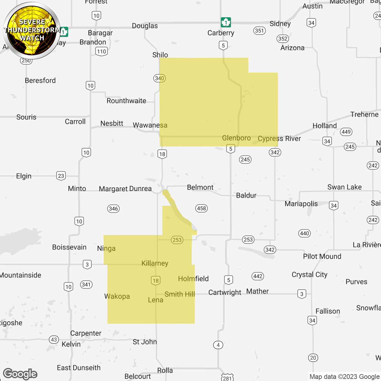
(Locations listed below description)
Conditions are favourable for the development of severe thunderstorms this afternoon and this evening in parts of southern and eastern Manitoba.
The main threats from these thunderstorms will be: - hail to the size of baseballs - wind gusts in excess of 100 km/h - rainfall in excess of 50 mm
thunderstorms will continue well into the evening hours.
Very large hail can damage property, break windows, dent vehicles and cause serious injury. Strong wind gusts can toss loose objects, damage weak buildings, break branches off trees and overturn large vehicles. Remember, severe thunderstorms can produce tornadoes. Heavy downpours can cause flash floods and water pooling on roads. Lightning kills and injures canadians every year. Remember, when thunder roars, go indoors!
Severe thunderstorm watches are issued when atmospheric conditions are favourable for the development of thunderstorms that could produce one or more of the following: Large hail, damaging winds, torrential rainfall.
Please continue to monitor alerts and forecasts issued by Environment Canada. To report severe weather, send an email to mbstorm@ec.gc.ca or tweet reports using #MBStorm.
end/paspc
ISSUED:
- Mun. Of Glenboro-South Cypress Incl. Treesbank
- Mun. Of Killarney-Turtle Mountain