Another Brief Blast of Snow Coming to Alberta & Saskatchewan from the Second Clipper of the Week
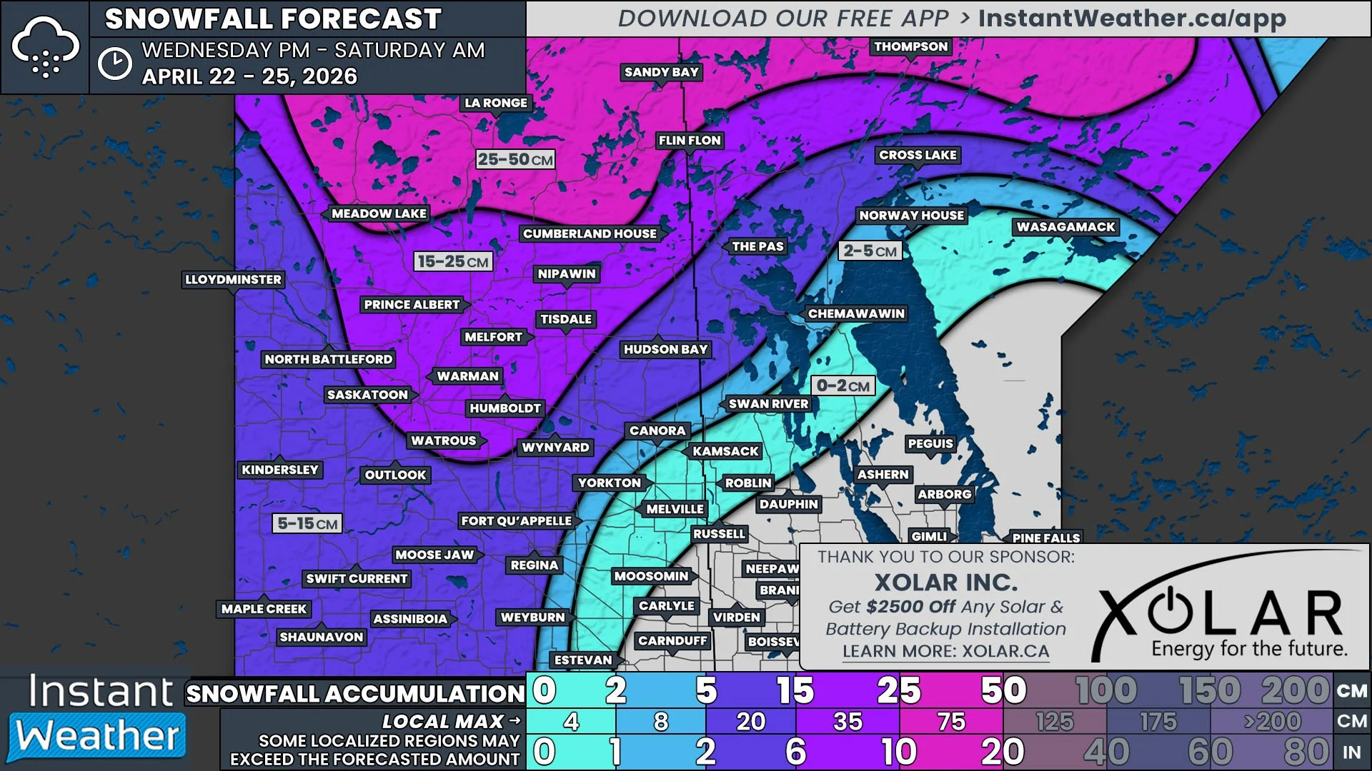
/Hot on the heels of a Clipper that has already impacted the Prairies this week, a second one is set to develop Friday morning and continue into Saturday morning. This system, similar to the preceding one, will have precipitation falling predominantly as snow, but there will once again be rain falling along the southern boundary that will impact snowfall totals and the threat of freezing rain in the middle. The major difference, however, will be that the incoming system is expected to track further south, which will bring the heaviest snow to different parts of Alberta and Saskatchewan.
Patchy snow is expected to begin in Central Alberta during the pre-dawn hours Friday and it will quickly grow into a continuous band by the mid-to-late morning that will also start to cross into Southwest Saskatchewan. As the temperatures begin to rise through the morning, there is the greatest risk for freezing rain to fall along the southern edge in Southern Alberta and Saskatchewan. By the late morning, the threat of freezing rain will diminish as the transition to rain occurs, but there will still be the slight possibility of patches of freezing rain falling along the transition line throughout the remainder of the day.
The Hrdps model showing precipitation type and intensity at 10am MT/11AM CT on Friday, courtesy of WeatherBell.
In the late morning and into the early afternoon, it is also expected that there could be some intensification within the band of snow that will lead to small areas of increased snowfall rates. Exactly where this may occur varies between models, but it is a possibility roughly from Red Deer to Swift Current.
As the leading edge of the Clipper continues pushing further eastward into Saskatchewan in the early afternoon, the snow will start to taper off in the Grande Prairie. This trend will continue through the afternoon and evening, with snow gradually tapering off, from northwest to southwest, in Alberta while spreading eastward across Southern Saskatchewan.
The Hrdps model showing precipitation type and intensity at 8pm MT/9pM CT on Friday, courtesy of WeatherBell.
While the snow is tapering off in Alberta, the low associated with the Clipper is expected to weaken over Southern Saskatchewan. This will lead to the entire system falling apart through the late evening and overnight. The snow will gradually start to spread southeastward towards the US border before fully exiting Saskatchewan by around sunrise on Saturday.
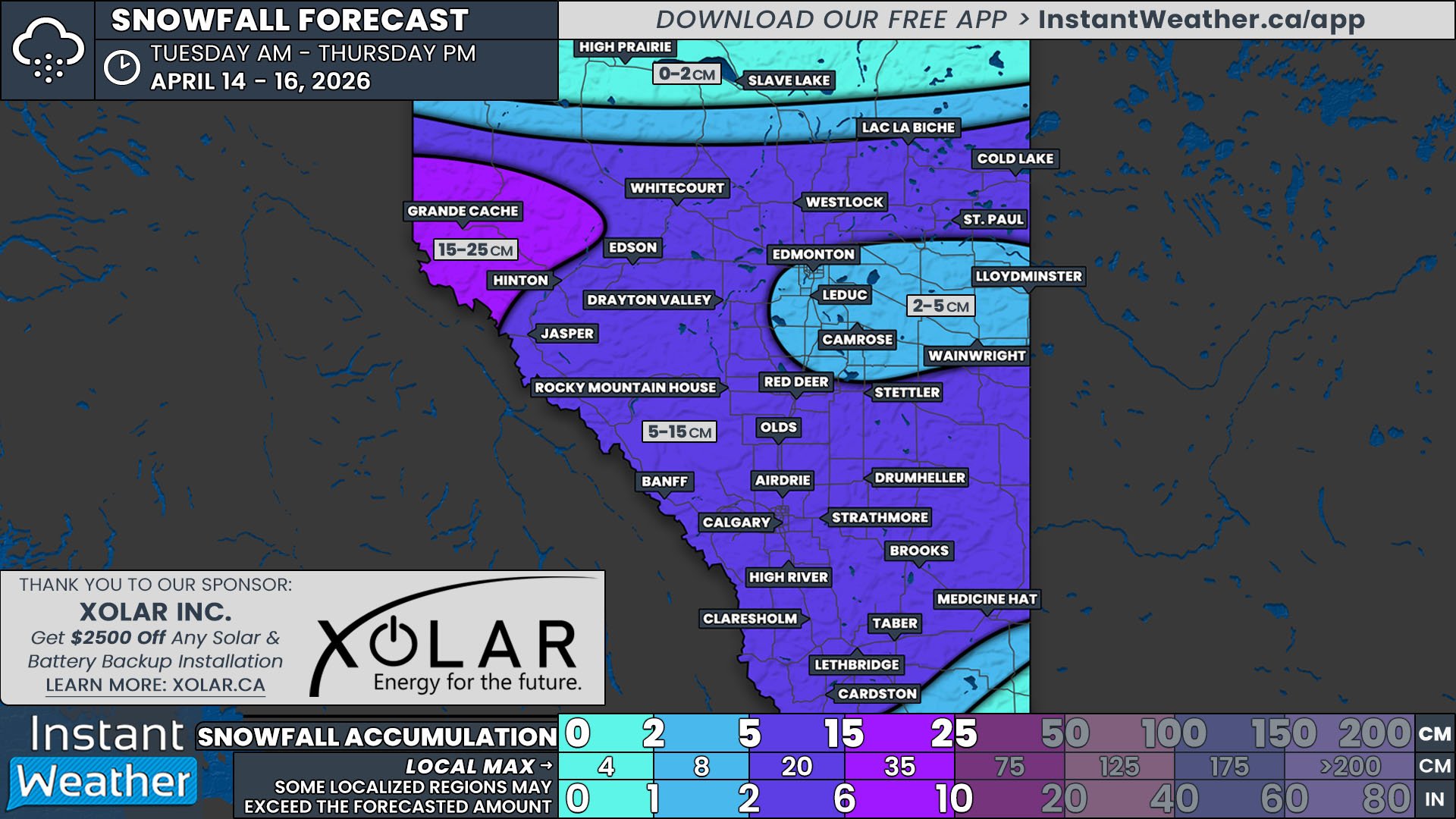
Overall, this second Clipper is expected to bring 5-10cm of wet snow across Alberta and Saskatchewan, from south of Slave Lake to the North Dakota border. As previously mentioned, there will be the possibility of some local intensification and heavier snow, but this should only bring accumulation totals closer to the 10cm and likely not above. Regardless, this will still be enough snow to impact travel, particularly along the Trans Canada Highway Friday evening, so be sure to take your time on the roads.


