Steep Drop in Temperatures Will Lead to Flash Freeze Risk This Evening and Freezing Rain Into Wednesday
/It’s been a bit of a weather roller coaster across Southern and Central Alberta over the past several days, with snow and frigid Arctic air late last week to single digit temperatures, melting snow and even some rain falling in the Northern Rockies.
Now, temperatures are expected to plummet later this evening, leading to a risk for a flash freeze along with freezing rain across a swath of the province continuing throughout the day tomorrow.
Warm temperatures across Central and Southern Alberta in the single digits have resulted in the melting of some of the existing snowpack. On top of this, precipitation has already begun to push into the Northern Rockies region of Alberta from British Columbia as a mix of rain and snow this afternoon.
As the precipitation pushes deeper into the province and temperatures quickly fall to just below the freezing mark this evening, not only will the melted snow and slush rapidly freeze, the rain will also transition over to freezing rain, creating very icy conditions. This patch of freezing rain will remain fairly stationary around Grande Prairie into Wednesday morning, leading to ice accretions up to 5mm. At this point, the entire system will begin to push southeastward across the province, bringing light freezing rain along a narrow track throughout the day, adding to the already icy conditions expected from the flash freeze.
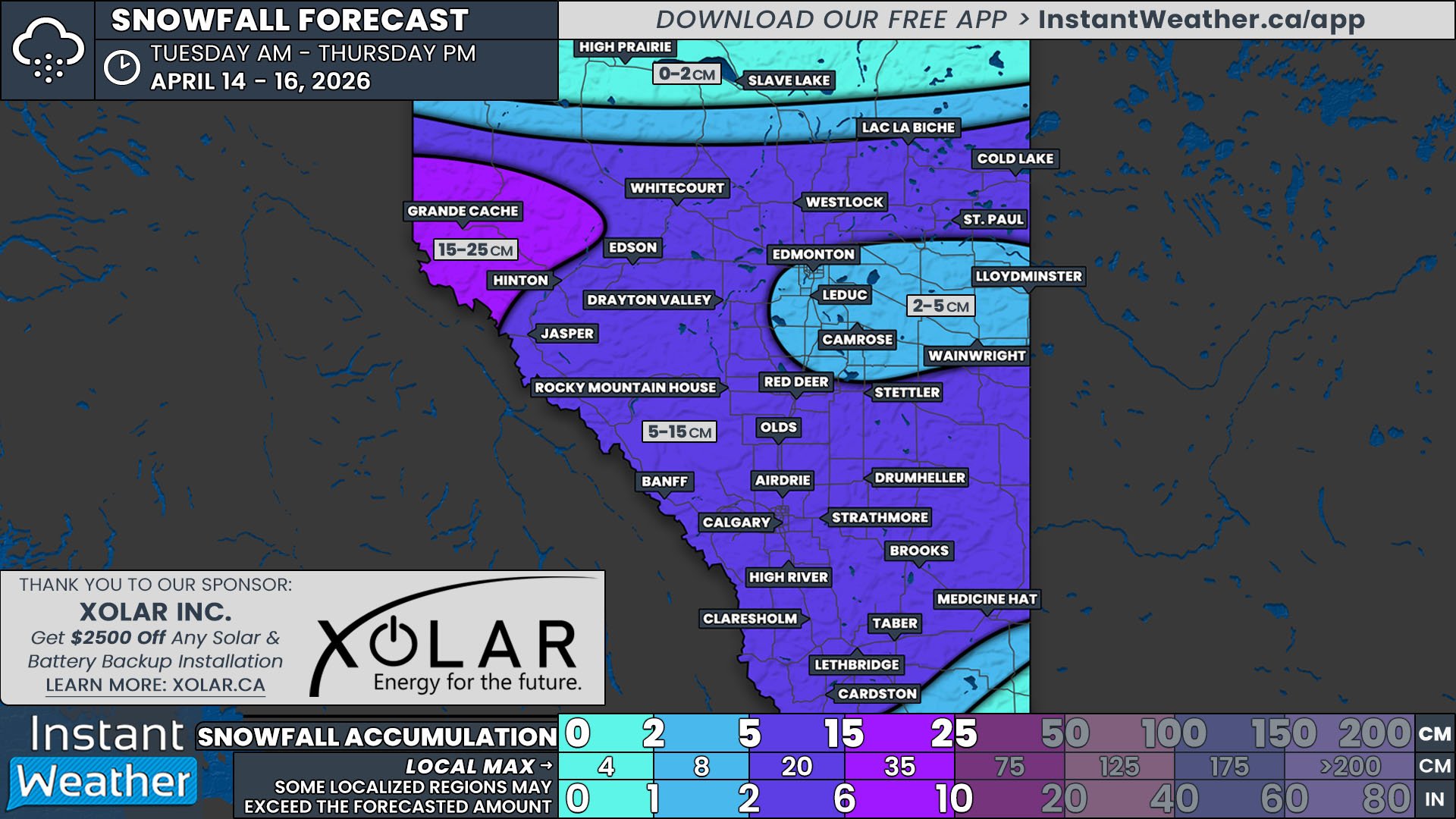
To the north of this freezing rain, where temperatures will be slightly cooler, light snow is expected to fall. Snowfall accumulations will also be limited with this system and a widespread 5-10cm is expected.


