Bitter Arctic Air and Southern Moisture Will Bring up to 30cm of Snow to the Southern Prairies This Week
/
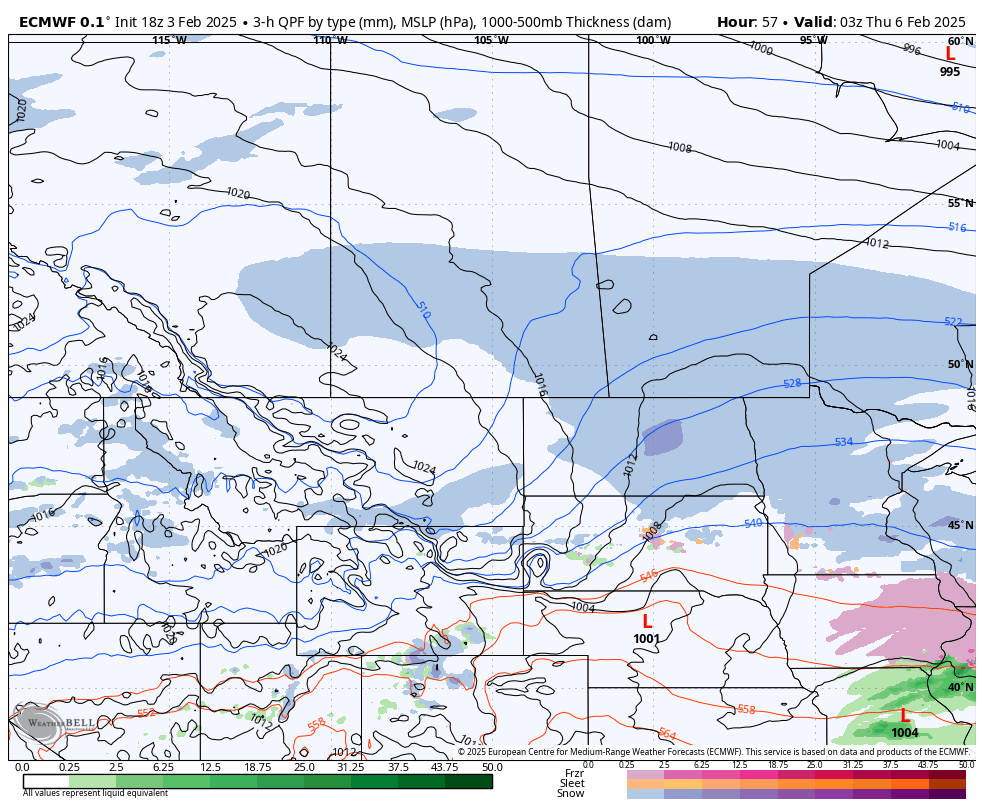
NOTE: YOU CAN CLICK ON THE MAP TO OPEN A ZOOMABLE IMAGE
The pattern of active weather across the Prairies will continue throughout the week with a new system moving in from the United States starting late Monday and continuing until Thursday afternoon.
Arctic air flooded southward following the passage of the storm this past weekend and it will have a significant impact on our incoming system. Very cold temperatures result in much higher snow ratios so what may look like a small amount of moisture actually leads to much greater accumulations of dry snow.
This is the situation we will find ourselves in this week. The incoming system doesn’t contain a great deal of moisture, but the cold temperatures, into the -20°s, will cause a significant amount of lightweight, dry snow to fall. Overall, we’re looking at a possibility of a widespread 20-30cm of snow falling across all three Prairie provinces.
The snow will fall mostly at a fairly light rate, however, the winds are expected to pick up overnight Wednesday in Saskatchewan and spreading into Manitoba through Thursday morning. The winds should peak early Thursday afternoon in Central and Southern Manitoba, gusting at up to 50km/h, before dying down in the evening so there could be a brief period of reduced visibility due to blowing snow.

Model Image showing the total amount of precipitation in millimetres
Alberta
Patches of snow will move into Southern Alberta and Southwest Saskatchewan late Monday night from North Dakota. It will spread northward throughout the morning, reaching the Edmonton area around the lunch hour Tuesday.
Later Tuesday afternoon, the snow in Central Alberta and parts of Southern Alberta will taper off, but it will gradually return throughout Wednesday morning as the system reorganizes and the snow becomes steadier. The snowfall across the southern half of the province will continue into early Wednesday afternoon, at which point it will start to dissipate from west to east and finally ending Thursday morning before sunrise.

Model Image showing the location and intensity of snowfall at 5AM MT/6AM CT Wednesday
Saskatchewan
After moving into Southwest Saskatchewan late Monday night, the patchy snow will spread northward and eastward throughout Tuesday morning and into the early afternoon. At that point, it should reach Lloydminster, as well as into the Saskatoon and Regina areas, but not quite to the Manitoba border.
Similar to what is expected to occur in Alberta, the snow along the leading edge is anticipated to dissipate beginning in the mid-afternoon Tuesday and continuing into the early evening before surging back across the province later in the evening. The reorganized snowfall will be much steadier overnight and through to Wednesday afternoon, possibly becoming heavy at times closer to the American border.
The snow will the begin to taper off in the Southwest early Wednesday afternoon as the system travels eastward, ending in Southern Saskatchewan in the late evening. Steady snow is expected to continue across parts of Central Saskatchewan during this period and will eventually start to dissipate through the pre-dawn hours of Thursday.
Model Image showing the location and intensity of snowfall at 8PM MT/9PM CT Wednesday
Manitoba
Snow will move into the Parkland Region from Saskatchewan early Wednesday morning and cross the width of the province thorough the morning and into the early afternoon. At that point, the snow will begin in the Westman region and spread across Southern Manitoba through the remainder of the afternoon and into the evening.
The snow in Southern Manitoba isn’t expected to last too long, with it dissipating from west to east starting in the late evening until the pre-dawn hours Thursday. Like Saskatchewan, the snow will persist across parts of Central Manitoba in the meantime, until early Thursday morning when it starts to taper off. The snow will finally end in Manitoba by noon on Thursday.


