Another Snowstorm Could Dump Up to 30cm of Snow on Saskatchewan & Manitoba This Weekend
/As residents across parts of Saskatchewan and Manitoba begin digging out from the first significant snowfall of the season, another winter storm is already on the horizon.
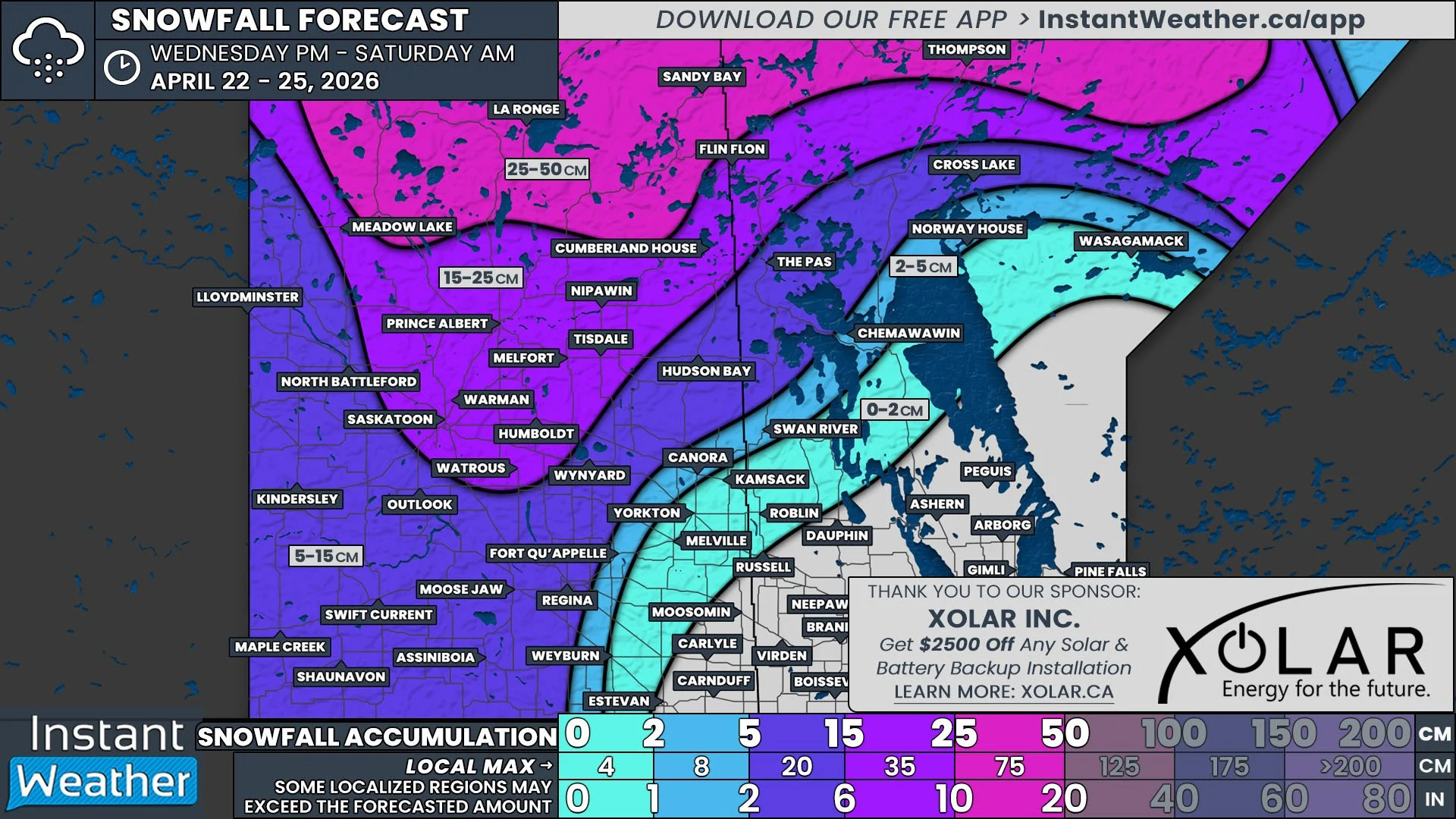
Snowfall is expected to start in western Saskatchewan as early as Saturday morning, with the worst conditions anticipated over the weekend. By the time the system wraps up on Monday, widespread snow accumulation of 15 to 30 cm is likely.
Although current model data shows good consistency regarding the storm's intensity and track, it’s still over 24 hours away, and some slight adjustments are possible. Be sure to check back on Friday for our updated forecast, which will include more precise snowfall accumulation predictions.
A teaser of what’s to come will arrive on Friday as light snow begins moving into southwestern Saskatchewan during the afternoon. This snowfall isn’t expected to spread far across the province and should mostly fizzle out by Saturday morning. Areas like Maple Creek and Shaunavon could see a few centimeters of accumulation, possibly up to 5 cm.
However, the break in snowfall will be brief, as another wave of precipitation sweeps into the province from Alberta. This system will begin as light snow late Saturday morning, gradually increasing in intensity throughout the afternoon.
By the evening, snowfall will have reached Saskatoon and Regina, with moderate to heavy snow spreading across much of Saskatchewan. The worst conditions are expected overnight into Sunday morning, when snowfall rates will peak.
Blowing snow could also pose a concern, with wind gusts of 40-50 km/h reducing visibility on roads. While conditions aren’t expected to meet blizzard criteria, drivers should anticipate poor travel conditions and potential highway closures beginning Saturday evening, particularly in western Saskatchewan. Road conditions will likely remain hazardous until Sunday afternoon, starting with improvements in the western parts of the province.
By the early hours of Sunday, snowfall will have reached western Manitoba, with its intensity ramping up through the morning. Current forecasts suggest the heaviest snowfall will target central portions of western Manitoba, including the Interlake region.
Brandon is expected to see snow begin late Sunday morning, with light to moderate snowfall continuing throughout the day. Winnipeg will likely see snow begin in the early afternoon, continuing into the evening and overnight hours.
Snowfall will gradually taper off by Monday morning, with lingering flurries in central parts of Saskatchewan and Manitoba.
The storm is expected to lose some intensity as it progresses eastward across the Prairies. This means the highest snowfall totals will likely occur in western and central Saskatchewan. Snowfall amounts of 20-30 cm are expected in these areas by Monday morning, with localized pockets exceeding 30 cm. Locations such as Swift Current, Moose Jaw, Regina, and Kindersley are within this high-impact zone.
For the rest of Saskatchewan, snowfall amounts are forecast to range between 5 and 15 cm, with some areas potentially nearing 20 cm depending on the storm’s exact track. We’ve opted for a general forecast of "up to 20 cm" for now but expect refinements in our final update.
In Manitoba, western regions—including areas already hit hard by the earlier storm this week—can expect 10-15 cm, with isolated totals approaching 20 cm. Areas east of Brandon, including Winnipeg, are forecast to see lighter accumulations of 5-10 cm. Snowfall totals will taper off further north, with minimal impacts expected in northern Manitoba.
ESTIMATED WIND CHILL ON SATURDAY MORNING - MAP FROM WEATHERBELL
One significant difference between this storm and the one earlier this week is the temperature. This event will be accompanied by much colder air, meaning it will produce all snow, with no risk of mixed precipitation. Additionally, colder temperatures will result in higher snowfall ratios, so it won’t take much liquid precipitation to produce substantial snowfall amounts.
This colder air also brings added risks for anyone traveling during the storm. Extremely cold wind chills are expected to develop as early as Saturday, with some areas feeling like the -20s across Saskatchewan and into Manitoba. If you get stranded on the roads, staying warm may be difficult, so it’s highly recommended to avoid travel during this storm.


